Subida al Augstmatthorn 🥾 — route image
hiking moderate

Subida al Augstmatthorn 🥾

6.06km
+569m gain
5h 10mtotal
24:06 /kmmoving
53
The experience

About this route

@rociogs+89 credits

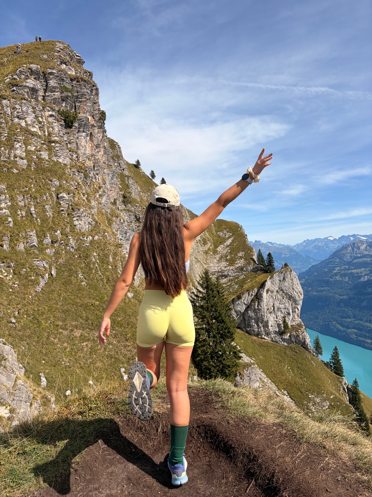
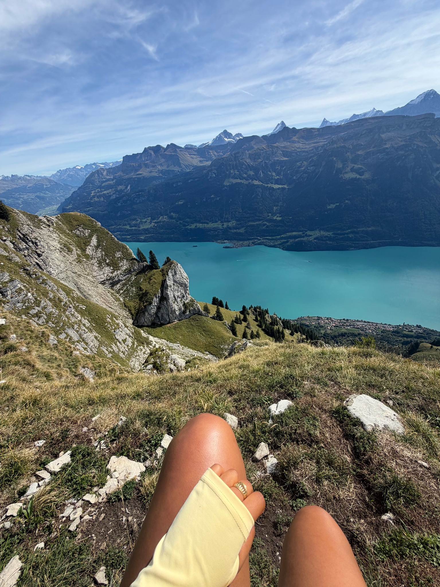
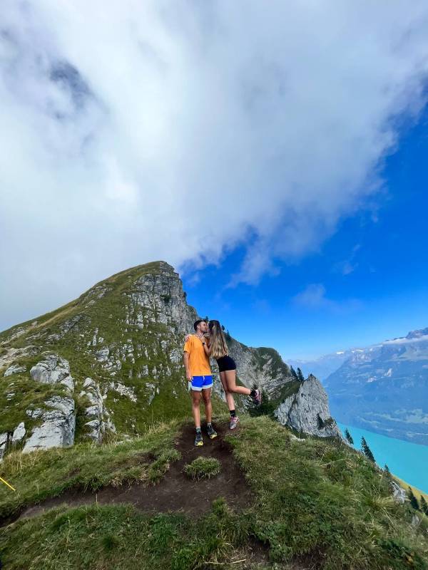
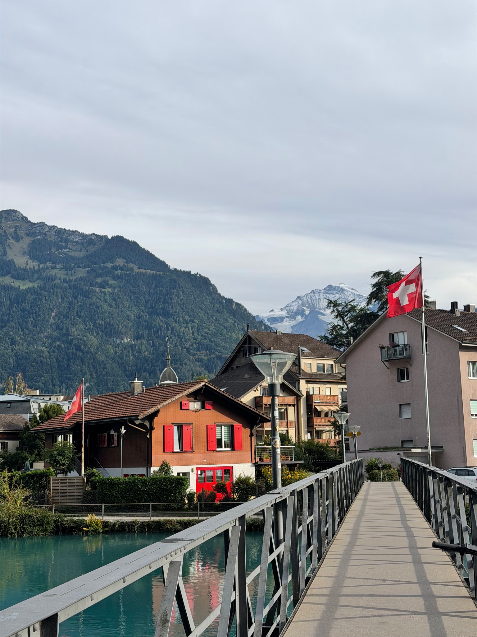
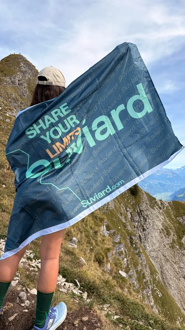
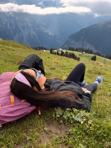
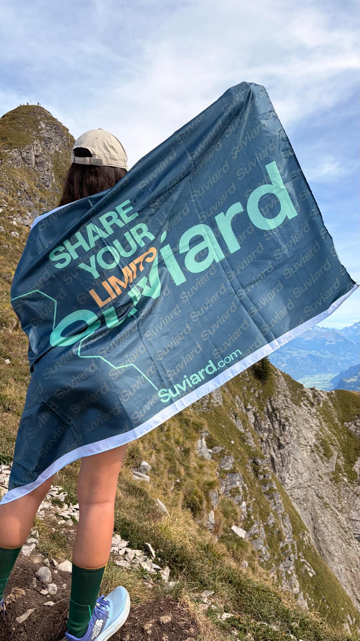
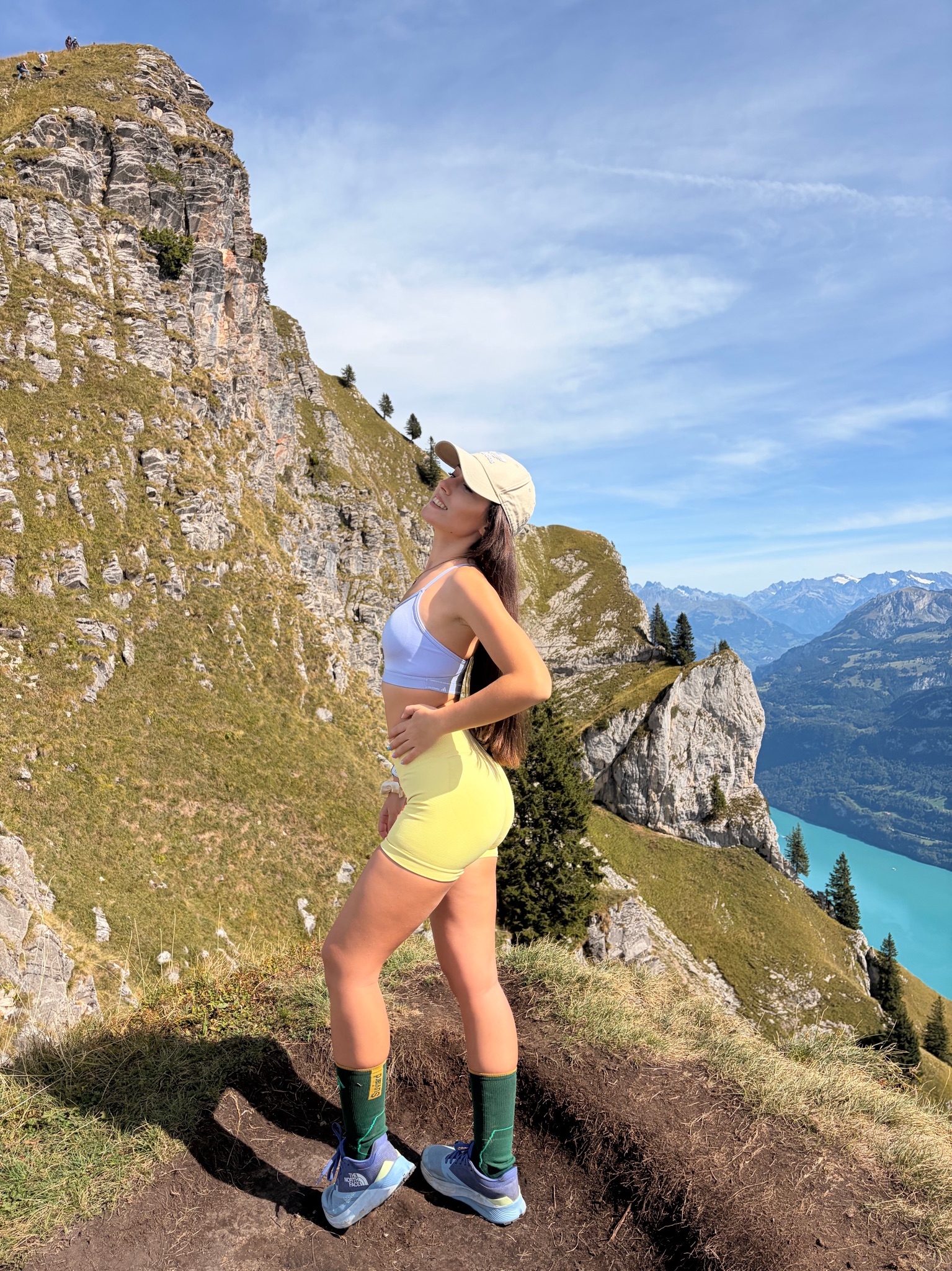
Última ruta por Suiza y para mi, mi favorita. Hoy tocaba conquistar una de las crestas más espectaculares del planeta, ¡el mítico Augstmatthorn! 🇨🇭🥾⛰️ Si los dos primeros días ya me habían dejado sin palabras, el trekking de hoy ha puesto el listón estratosférico. La subida quita el aliento (literal y figuradamente), pero en el segundo en que alcanzas la arista afilada te olvidas por completo del esfuerzo. Tener el azul turquesa irreal del lago de Brienz cayendo a tus pies y el horizonte dominado por los gigantes Eiger, Mönch y Jungfrau es una imagen que se queda grabada para siempre. Además, el momento cumbre fue cruzarnos con los majestuosos íbices alpinos 🐐✨
Profile

Elevation

Highest point · km 2.2
Loading map…
Start6.06 kmFinish
Performance

Estimated vs actual

180 min over
Estimated time (Naismith)2h 10m
Your actual time5h 10m

The estimated time uses distance, elevation gain and Naismith's rule (5 km/h + 1 h for every 600 m of ascent).

Trail conditions

Photos on the route

20 photos
Subida al Augstmatthorn 🥾
View
Subida al Augstmatthorn 🥾
View
Subida al Augstmatthorn 🥾
+17more
Community

Comments 0

Your avatar

Your voice matters

Log in to comment.

Suvi says hi

No trip reports for this route yet

Be the first to share your experience. Tips, trail conditions, mental snapshots — everything is welcome.

Your avatar
Enter to send · Shift + Enter for a new line