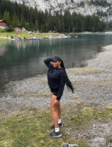
No description available for this route.
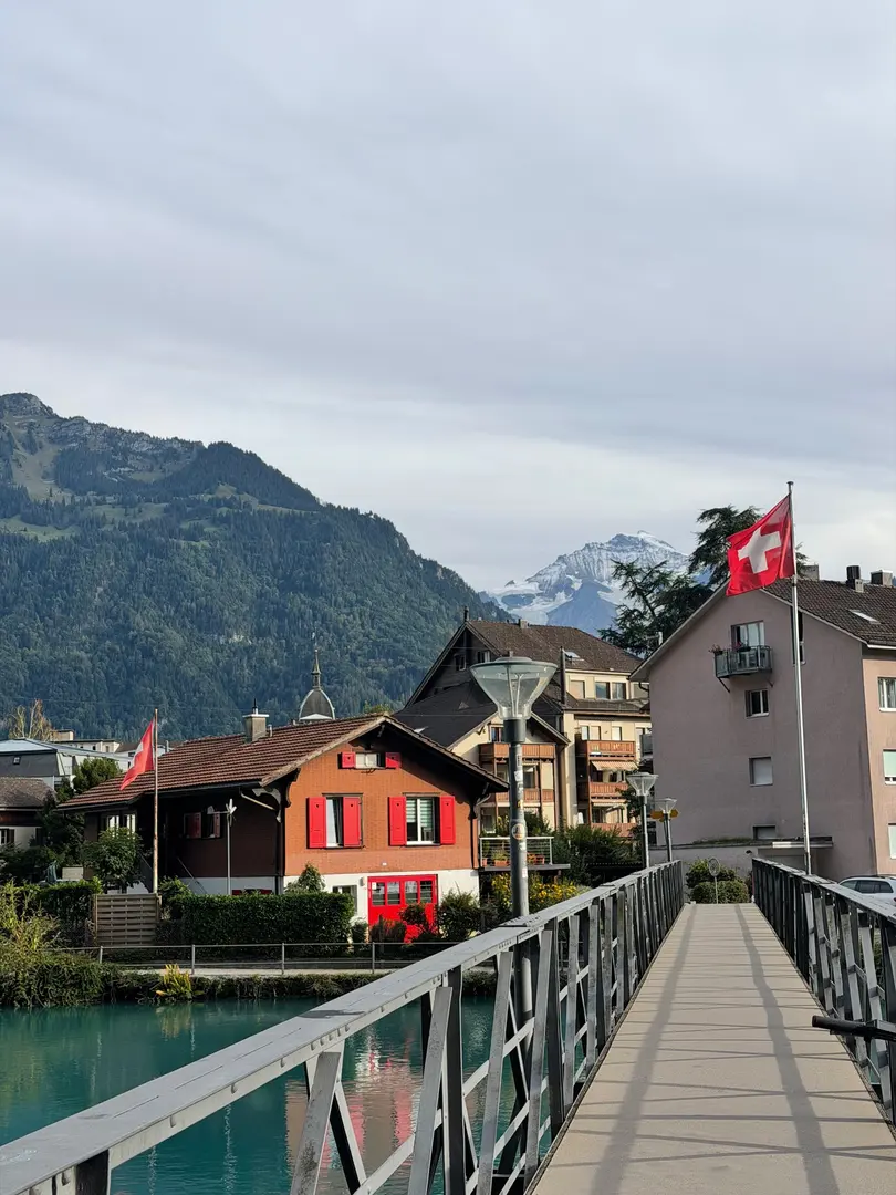
No description available for this route.
The estimated time uses distance, elevation gain and Naismith's rule (5 km/h + 1 h for every 600 m of ascent).

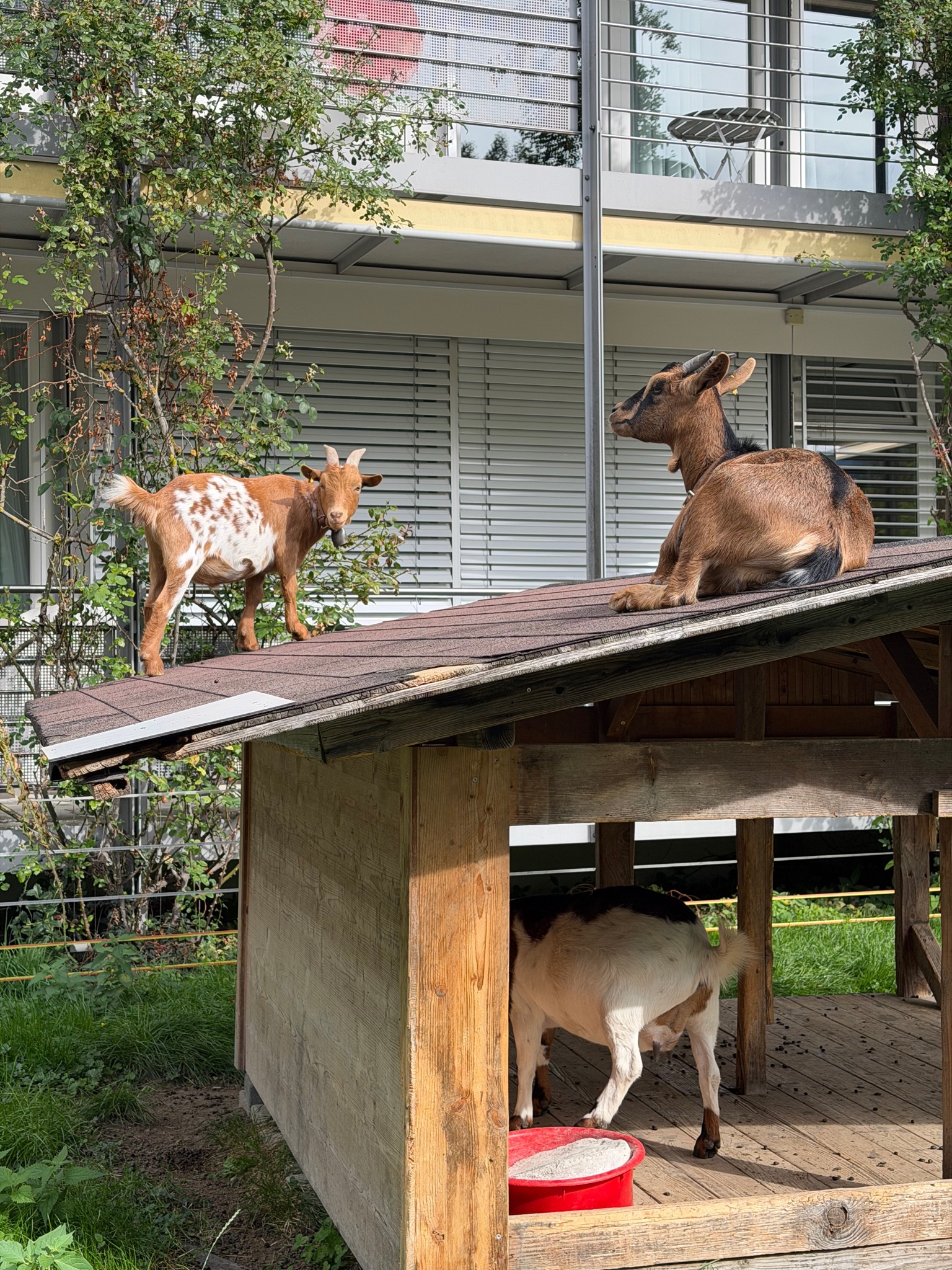
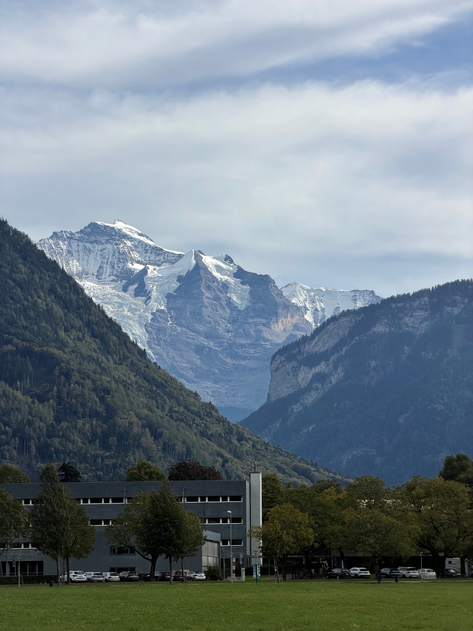

Be the first to share your experience. Tips, trail conditions, mental snapshots — everything is welcome.
Your voice matters
Log in to comment.