
No description available for this route.
No description available for this route.
The estimated time uses distance, elevation gain and Naismith's rule (5 km/h + 1 h for every 600 m of ascent).

Be the first to share your experience. Tips, trail conditions, mental snapshots — everything is welcome.
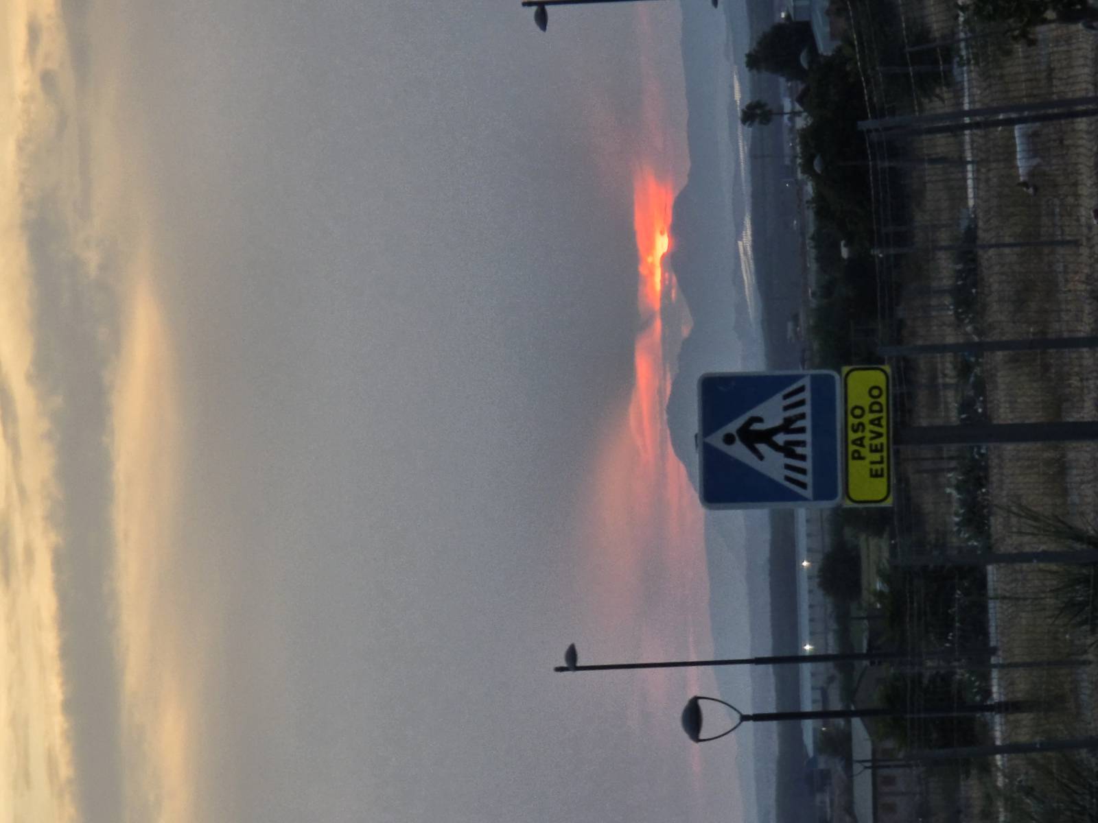
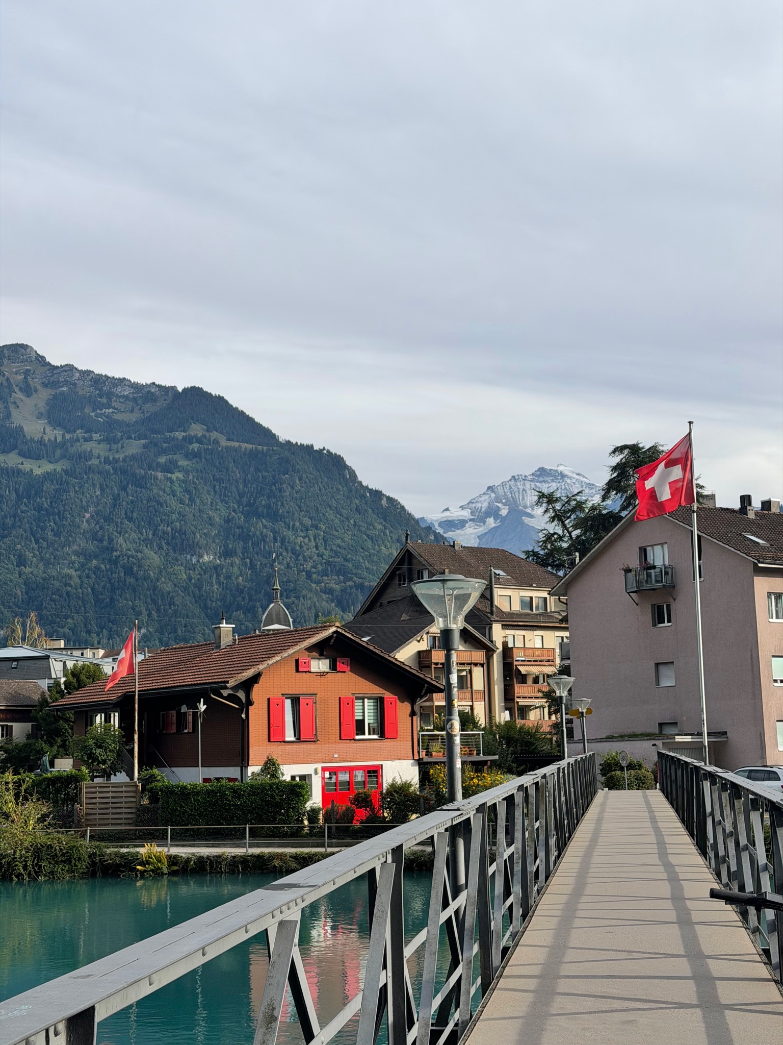
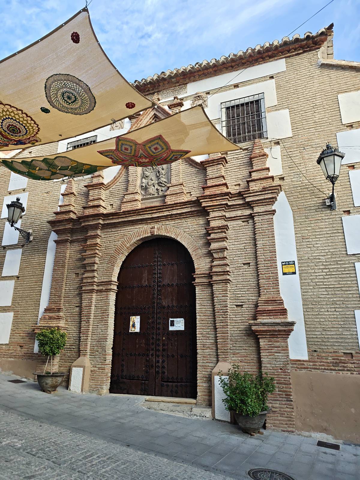
Ruta no muy complicada en la peza, salimos de una fuente del pueblo ( los cañillos), pasamos por la iglesia del pueblo y vamos dirección espique, continuamos pon el camino hasta fuente vilchez, continuamos de vuelta y paramos en las ruinas de un asentamiento romano( muy recomendable verlo, no e podido echar fotos ) por último continuamos hasta el pueblo y nos desviamos hacia las ruinas del castillo de la peza y finalmente continuamos con un pequeño callejeo por el barrio antiguo del pueblo.
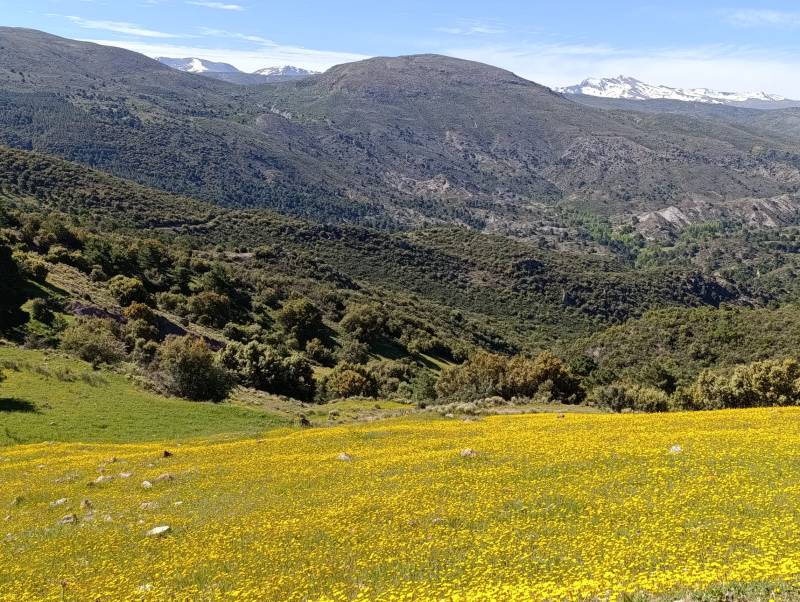
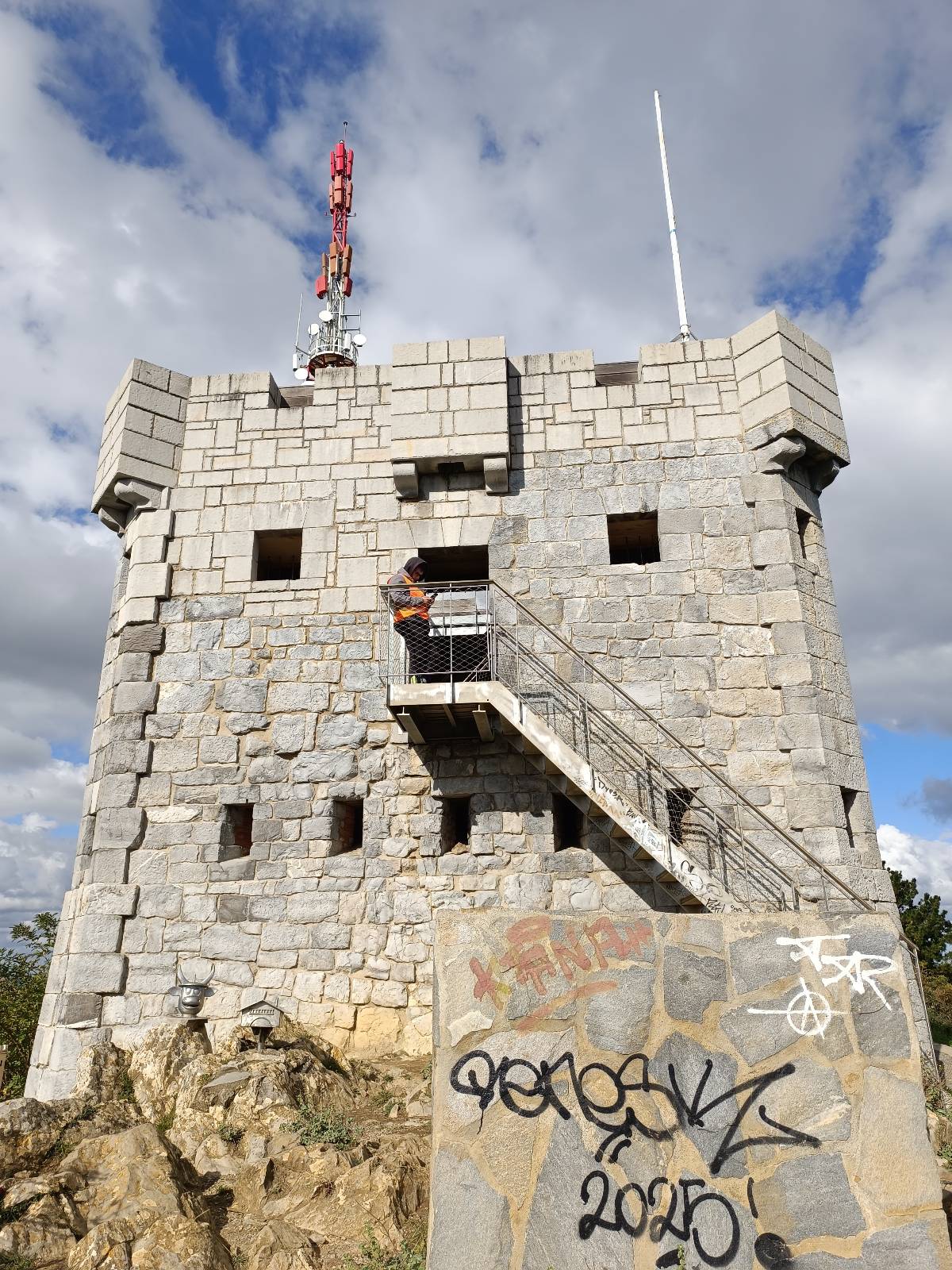
Ruta circular desde la estación de metro de Kabiezes, en Santurtzi, para subir al monte Serantes pasando por el Peñalba y acercarnos a la Cueva Mayor. Un recorrido por los caminos y senderos que recorren las laderas de este emblemático monte de la margen izquierda, con buenas vistas de la costa y de la ría del Nervión. La ruta tiene unos 8 kilómetros y 412 metros de desnivel positivo. En general es una ruta asequible, aunque hay algunos tramos de subida exigente y pendientes pronunciadas durante el descenso. Comenzamos junto a la estación de metro de Kabiezes, dirigiéndonos hacia el campo de fútbol de San Jorge y continuando por las inmediaciones de la residencia Nuestra Señora de Begoña hasta llegar al barrio de El Villar. Desde aquí iniciamos la subida por una pendiente considerable hasta alcanzar unos caseríos, donde nos desviamos por un sendero que discurre junto a una alambrada. Seguimos ascendiendo por la ladera suroeste del Serantes hasta llegar al Peñalba, un pequeño espolón rocoso situado a unos 335 metros de altitud. Desde este punto continuamos por el sendero que nos lleva hacia el cordal y, finalmente, hasta la cima del Serantes, uno de los montes más característicos de Santurtzi y un excelente mirador sobre el Abra, la costa y los municipios de alrededor. Durante el recorrido también nos acercamos a la Cueva Mayor, uno de los rincones de interés de esta zona, antes de continuar hacia el entorno del antiguo fuerte del Serantes, las áreas de recreo y las fuentes. Para el descenso bordeamos el fuerte por su lado izquierdo y bajamos hasta enlazar con la pista de hormigón que sube hacia la cima. Tras recorrer un pequeño tramo por ella, nos desviamos por una pista que nos permite regresar sin pérdida hasta Kabiezes, completando así la ruta circular. Una ruta muy interesante para conocer el Serantes por una vertiente diferente, combinando senderos de montaña, pequeños rincones rocosos, la visita a la cueva y las panorámicas que ofrece este monte sobre Bizkaia.

Your voice matters
Log in to comment.