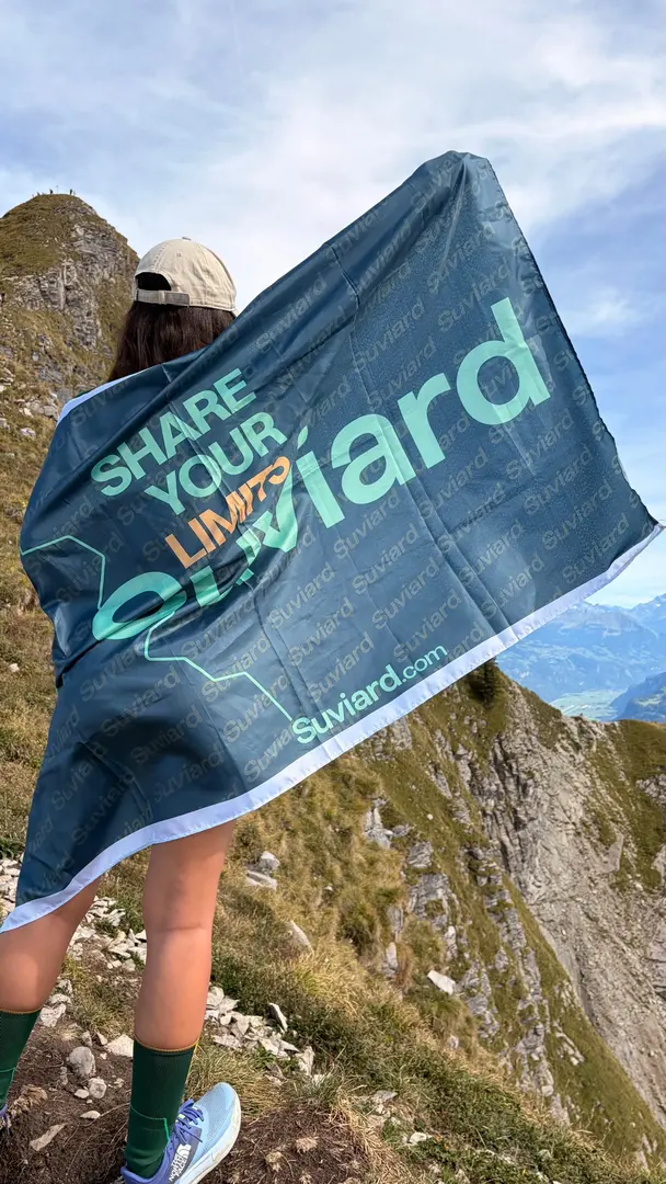
Subida al Augstmatthorn 🥾 — Bild der Route
Wandern mittel

Subida al Augstmatthorn 🥾

6.06km
+569Hm
5h 10mgesamt
24:06 /kmin Bewegung
53
Das Erlebnis

Über diese Route

@rociogs+89 Credits

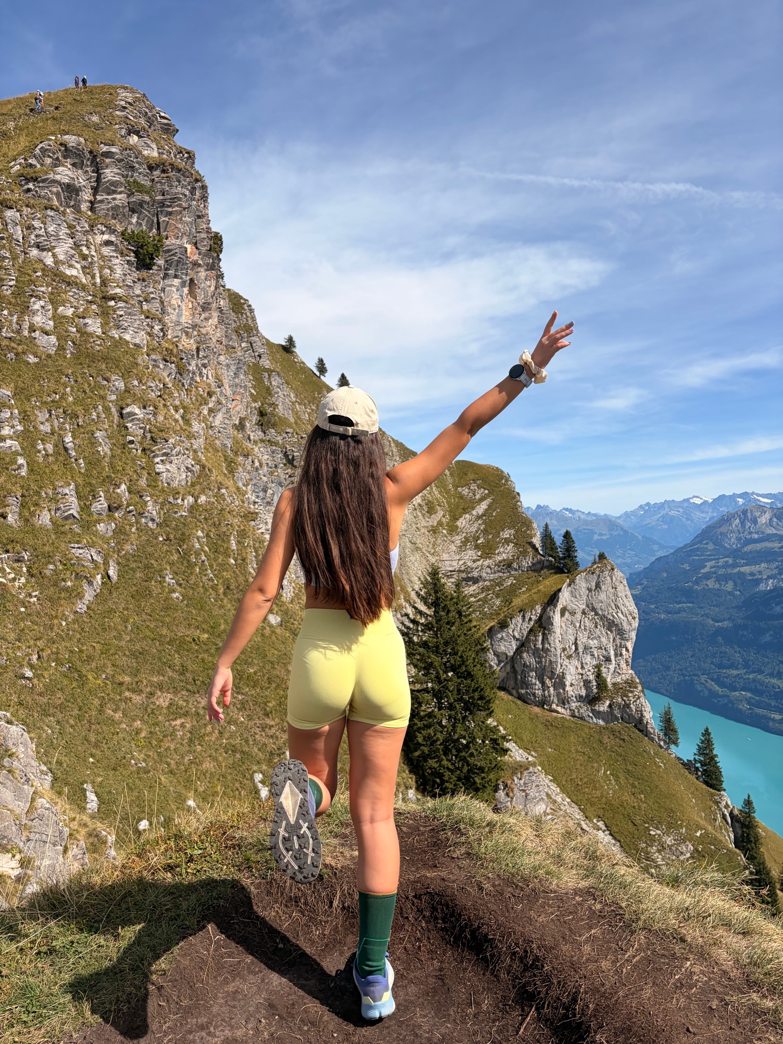
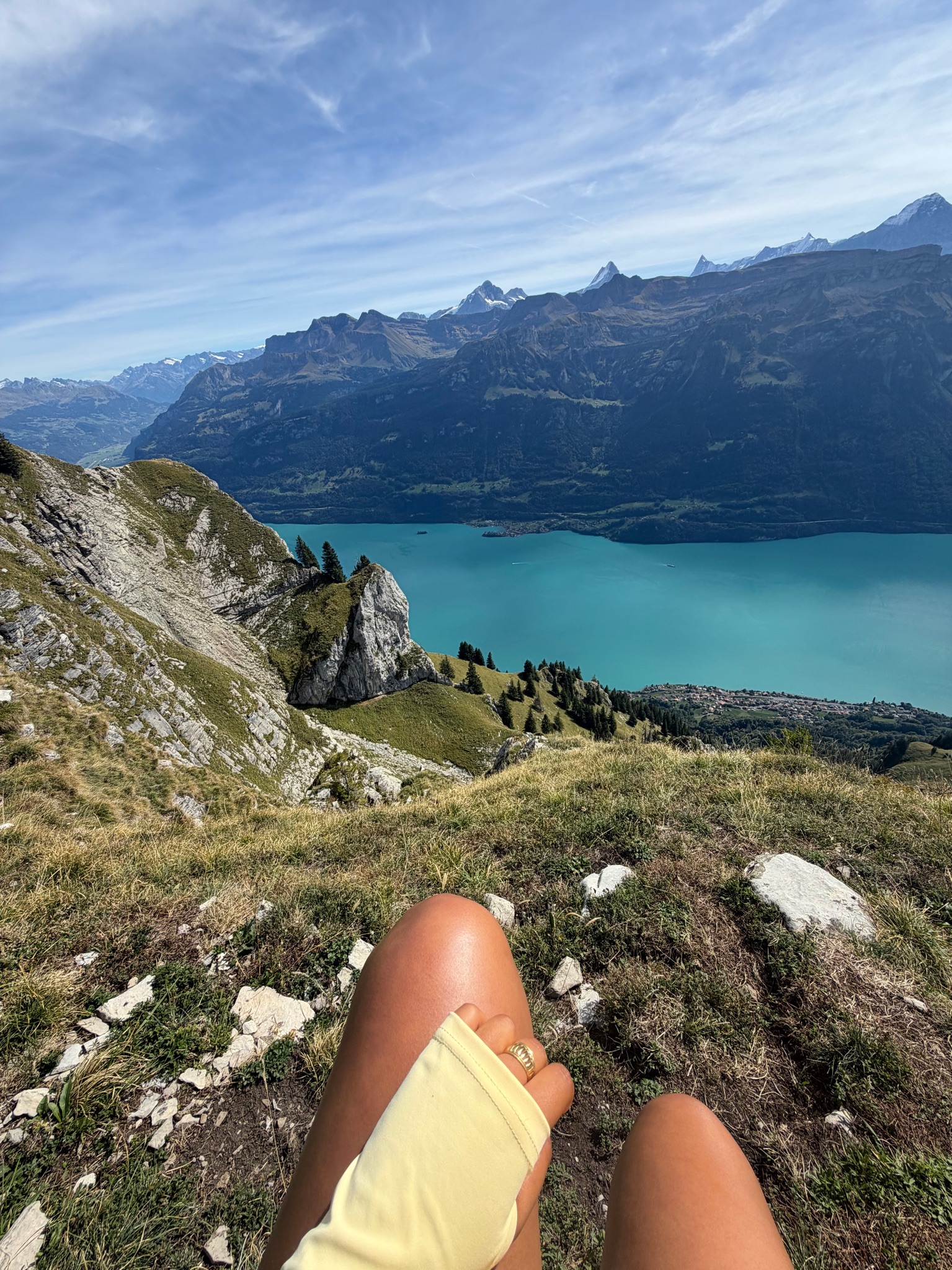
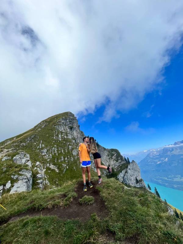
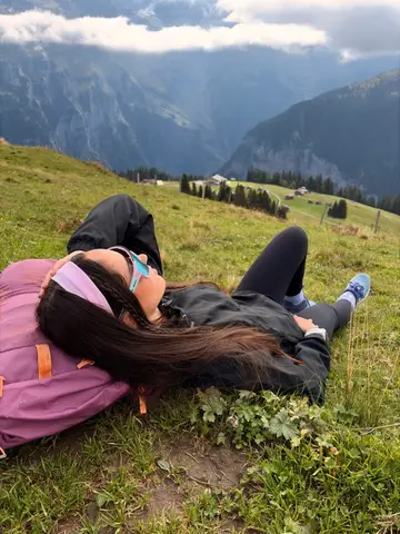
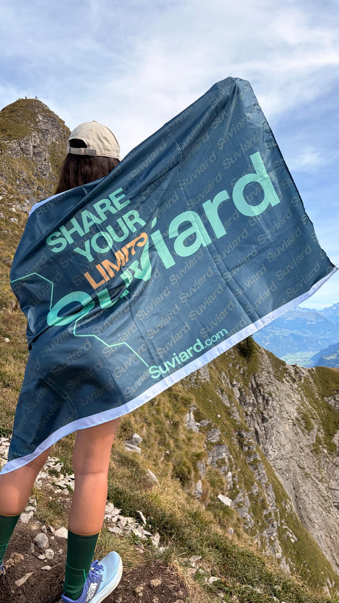
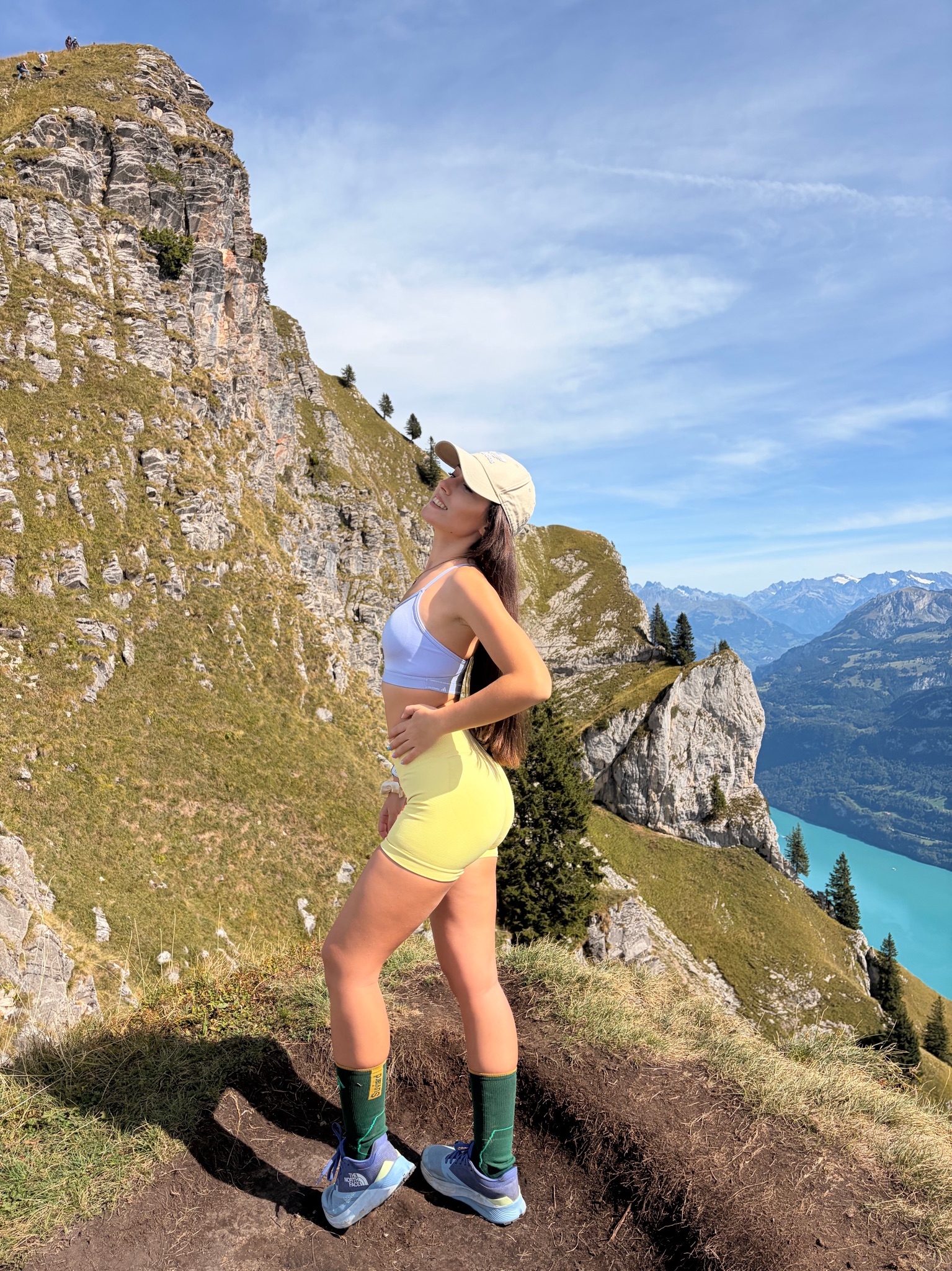
Última ruta por Suiza y para mi, mi favorita. Hoy tocaba conquistar una de las crestas más espectaculares del planeta, ¡el mítico Augstmatthorn! 🇨🇭🥾⛰️ Si los dos primeros días ya me habían dejado sin palabras, el trekking de hoy ha puesto el listón estratosférico. La subida quita el aliento (literal y figuradamente), pero en el segundo en que alcanzas la arista afilada te olvidas por completo del esfuerzo. Tener el azul turquesa irreal del lago de Brienz cayendo a tus pies y el horizonte dominado por los gigantes Eiger, Mönch y Jungfrau es una imagen que se queda grabada para siempre. Además, el momento cumbre fue cruzarnos con los majestuosos íbices alpinos 🐐✨
Profil

Höhenprofil

Höchster Punkt · km 2.2
Karte wird geladen…
Start6.06 kmZiel
Leistung

Geschätzt vs. tatsächlich

180 Min. langsamer
Geschätzte Zeit (Naismith)2h 10m
Deine tatsächliche Zeit5h 10m

Die geschätzte Zeit nutzt Distanz, Höhenmeter und die Naismith-Regel (5 km/h + 1 h pro 600 m Aufstieg).

Zustand des Weges

Fotos von unterwegs

20 Fotos
Subida al Augstmatthorn 🥾
Ansehen
Subida al Augstmatthorn 🥾
Ansehen
Subida al Augstmatthorn 🥾
+17mehr
Community

Kommentare 0

Dein Avatar

Deine Meinung zählt

Melde dich an, um zu kommentieren.

Suvi sagt Hallo

Noch keine Berichte zu dieser Route

Teile als Erstes dein Erlebnis. Tipps, Zustand des Geländes, Eindrücke – alles ist willkommen.

Dein Avatar
Enter zum Senden · Shift + Enter neue Zeile