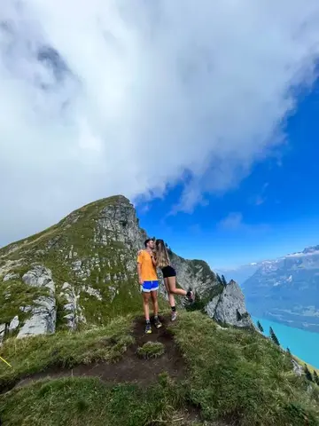
No description available for this route.
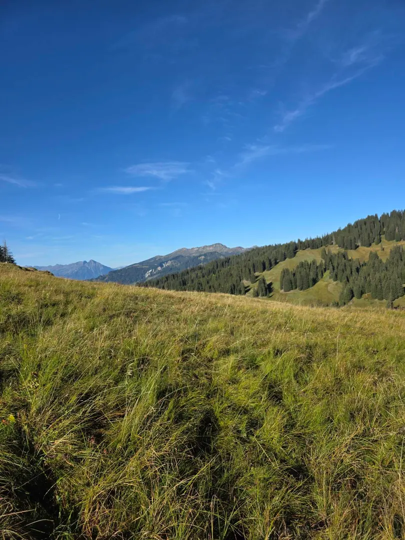
No description available for this route.
The estimated time uses distance, elevation gain and Naismith's rule (5 km/h + 1 h for every 600 m of ascent).
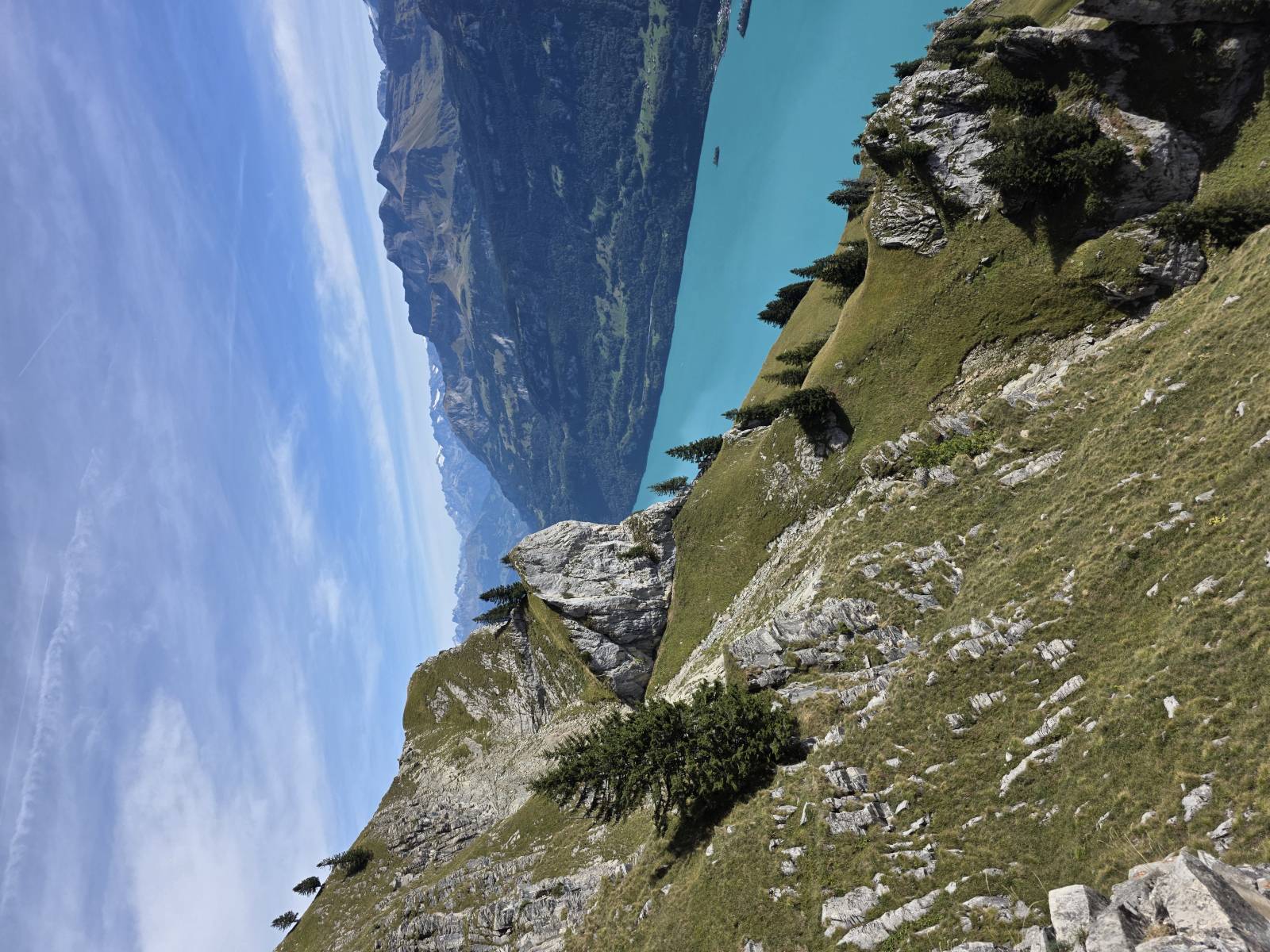

Be the first to share your experience. Tips, trail conditions, mental snapshots — everything is welcome.
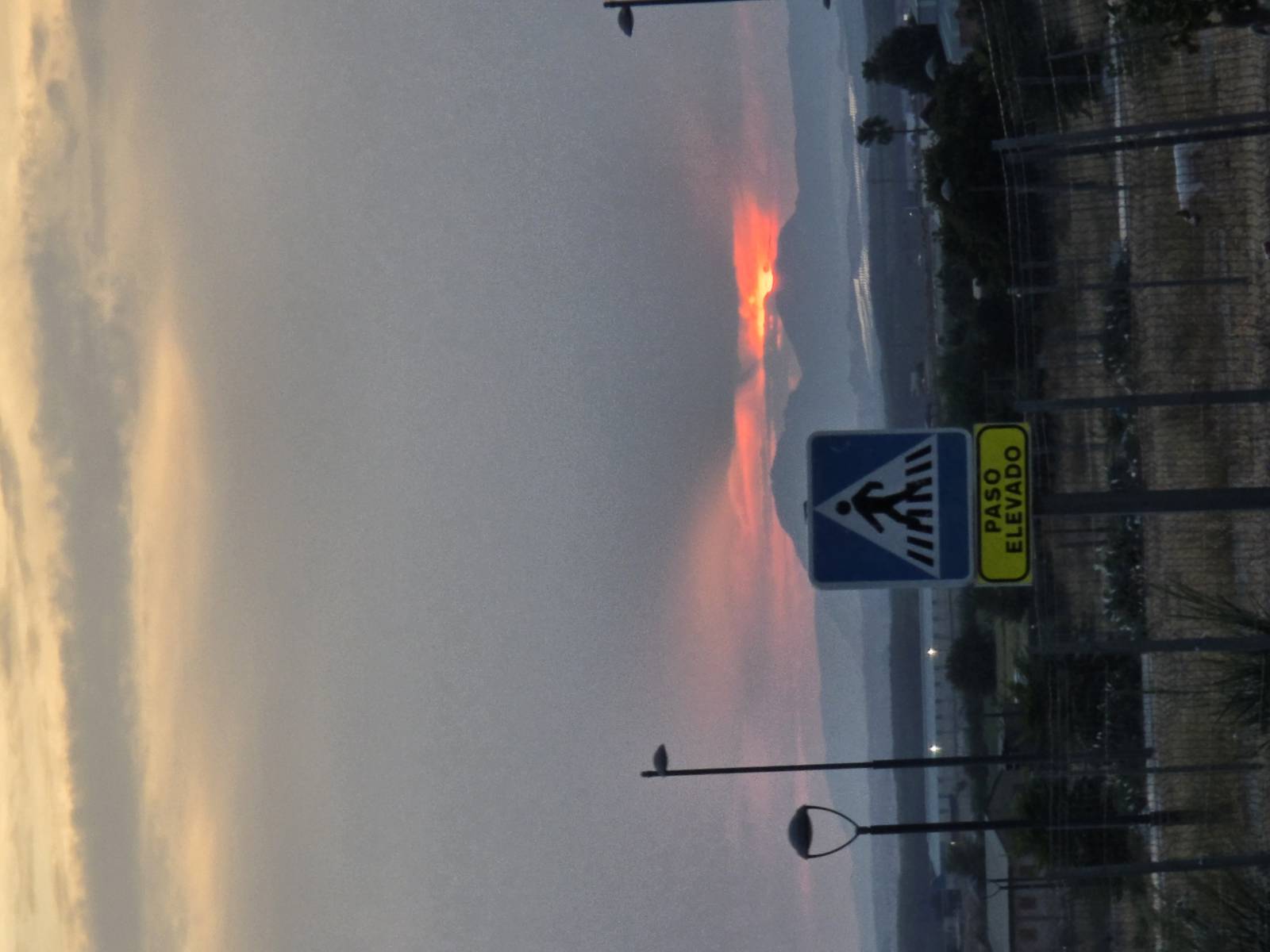
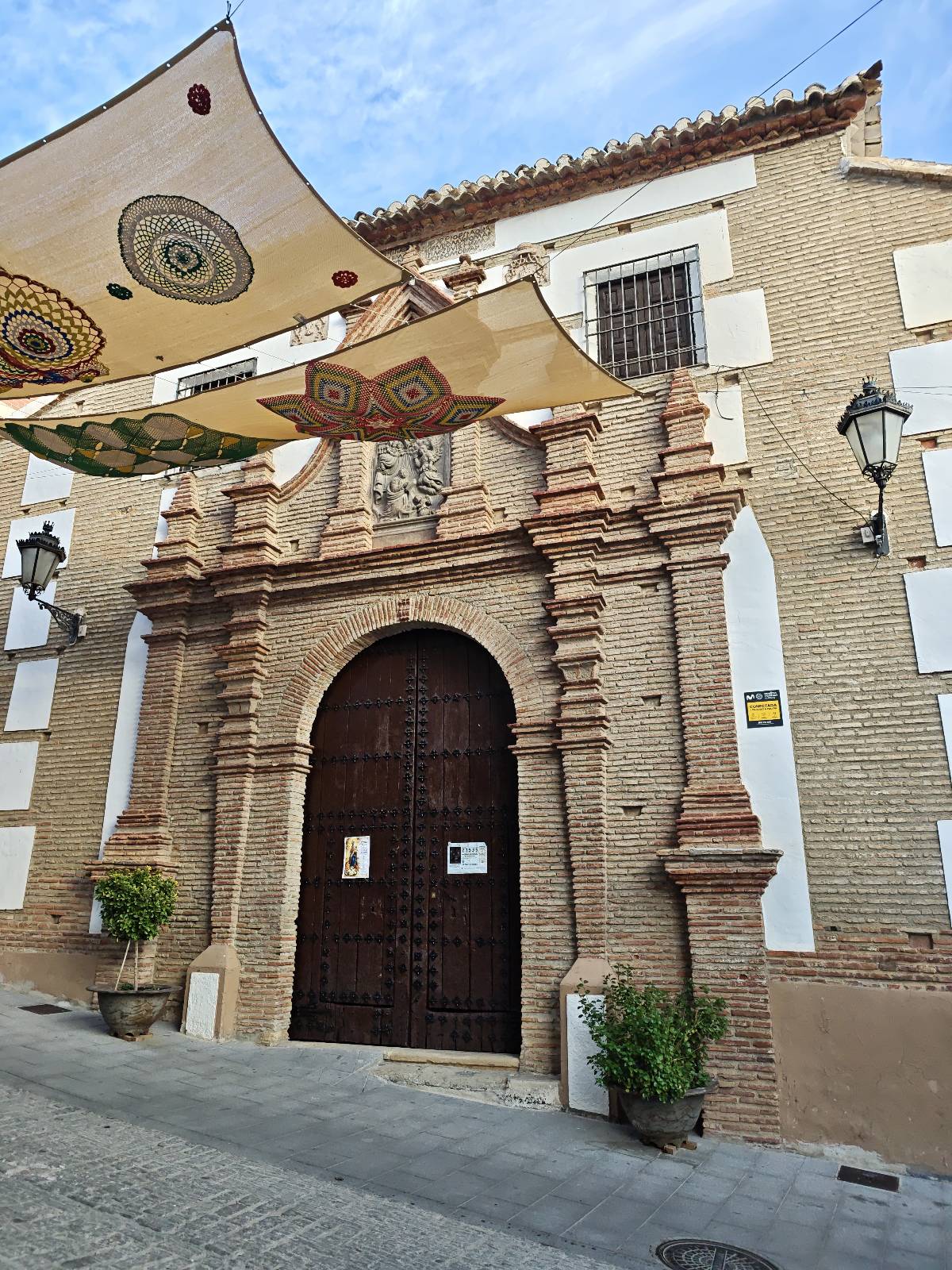
Ruta no muy complicada en la peza, salimos de una fuente del pueblo ( los cañillos), pasamos por la iglesia del pueblo y vamos dirección espique, continuamos pon el camino hasta fuente vilchez, continuamos de vuelta y paramos en las ruinas de un asentamiento romano( muy recomendable verlo, no e podido echar fotos ) por último continuamos hasta el pueblo y nos desviamos hacia las ruinas del castillo de la peza y finalmente continuamos con un pequeño callejeo por el barrio antiguo del pueblo.
Your voice matters
Log in to comment.