
No description available for this route.
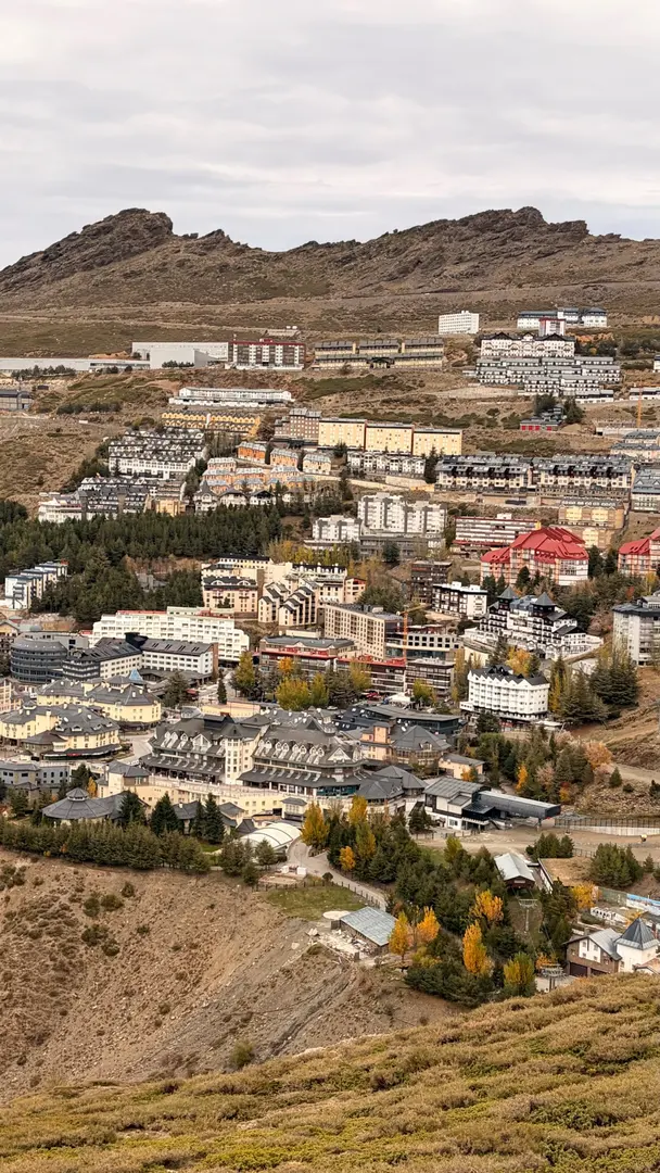
No description available for this route.
The estimated time uses distance, elevation gain and Naismith's rule (5 km/h + 1 h for every 600 m of ascent).
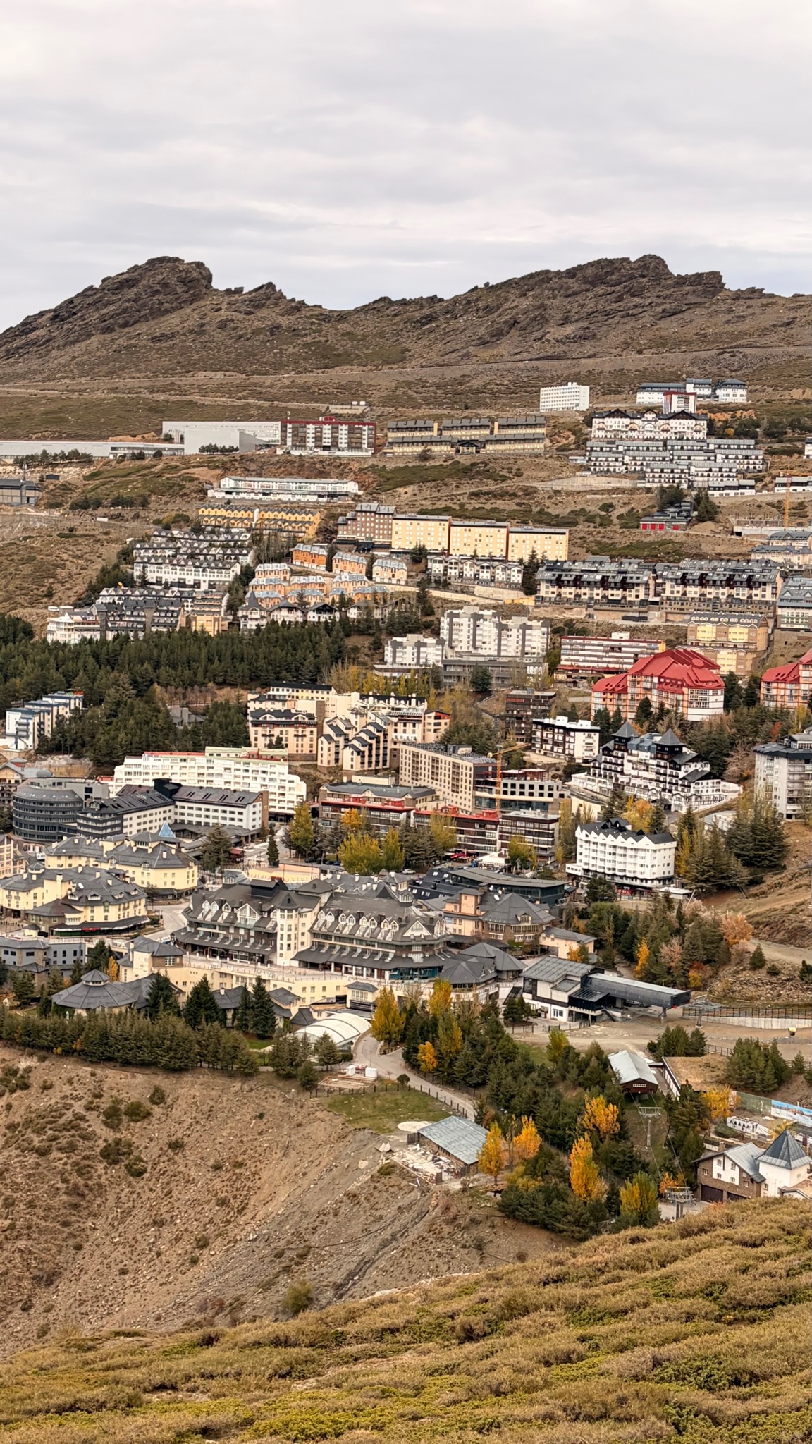

Nunca voy a decir que no a ir a los Italianos a por un heladito 🍦🍦🍦
Your voice matters
Log in to comment.