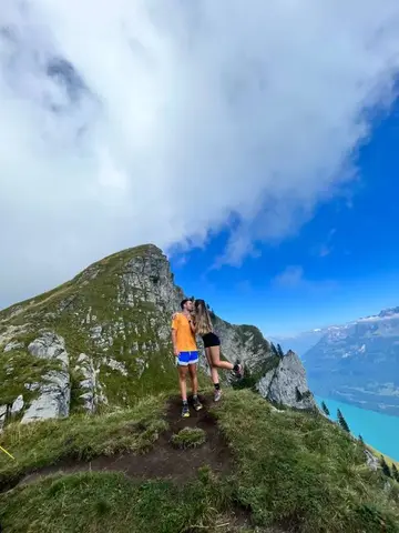
No description available for this route.
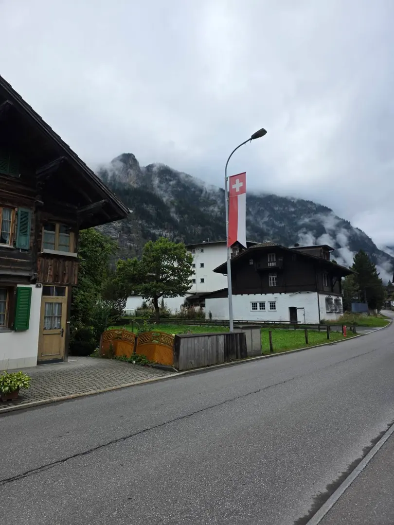
No description available for this route.
The estimated time uses distance, elevation gain and Naismith's rule (5 km/h + 1 h for every 600 m of ascent).
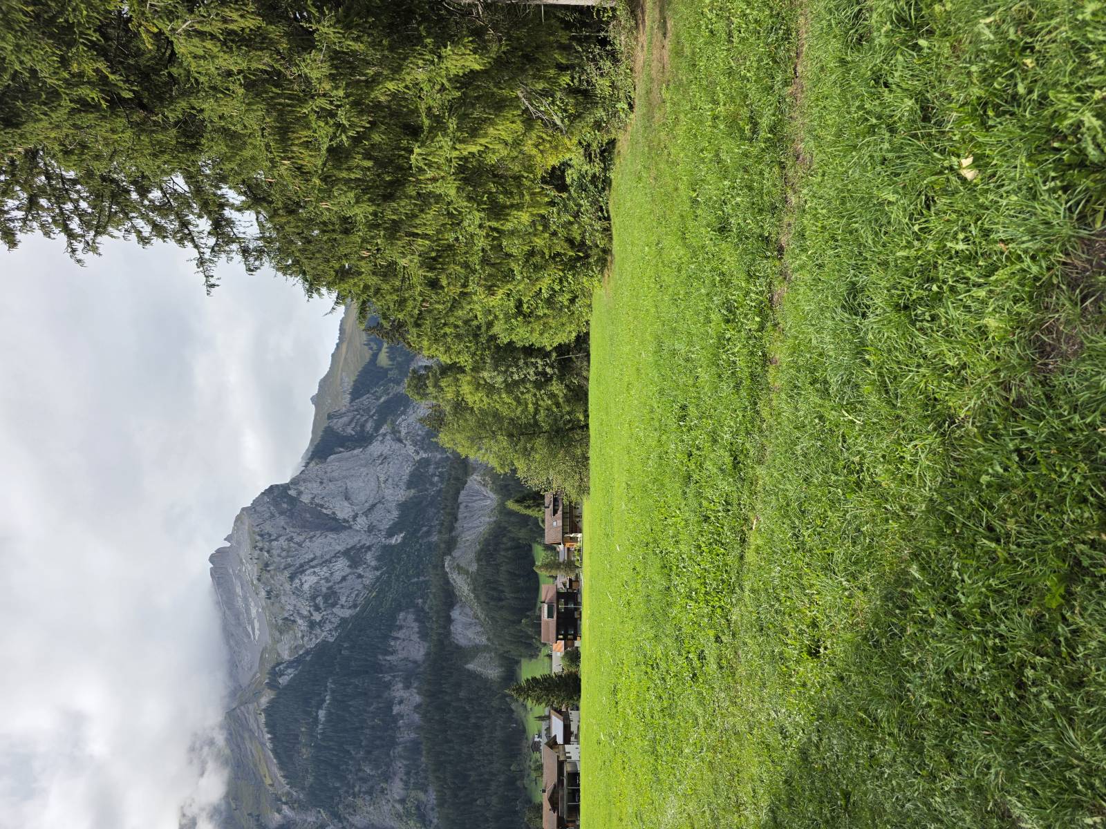
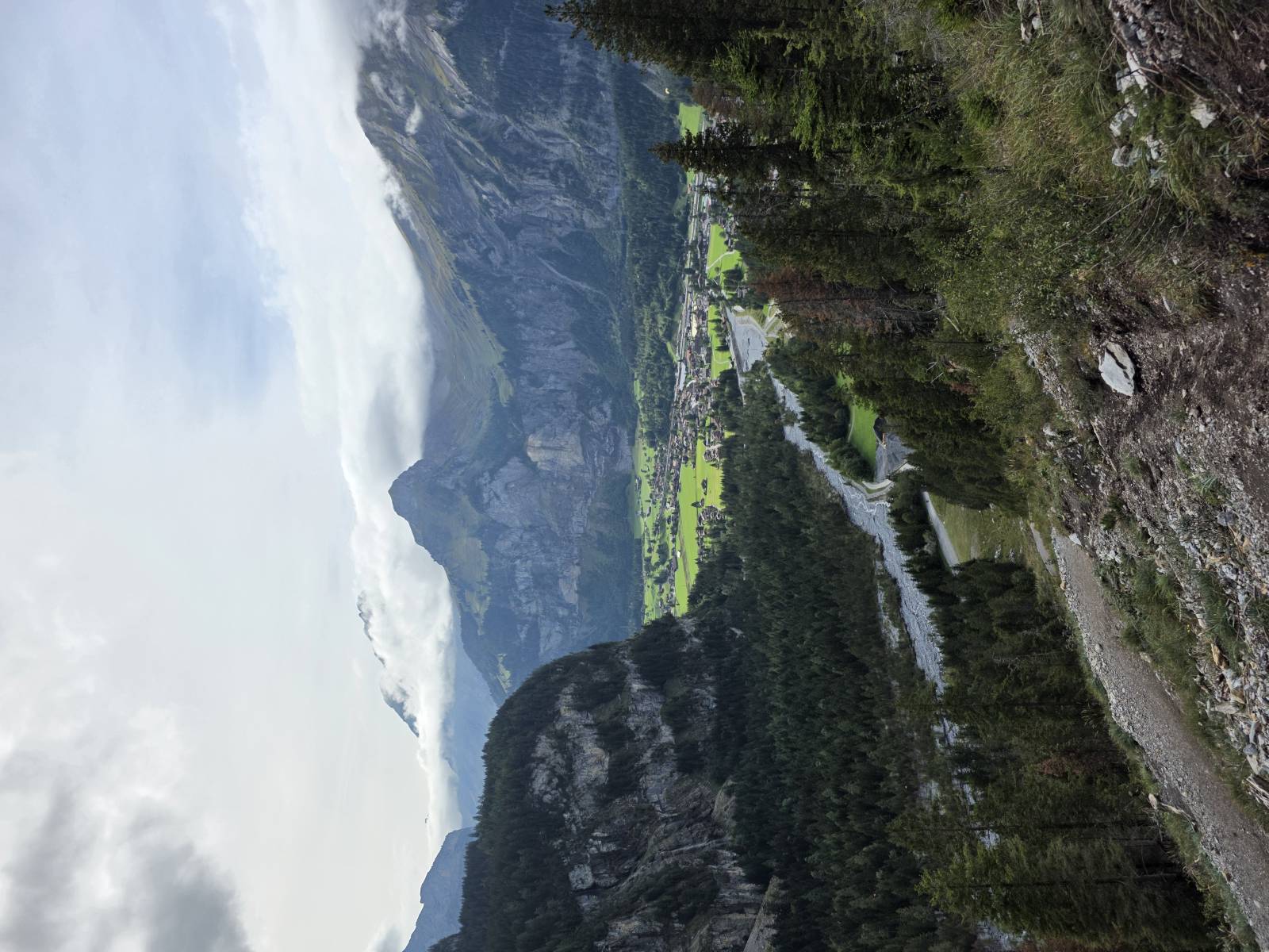

Be the first to share your experience. Tips, trail conditions, mental snapshots — everything is welcome.
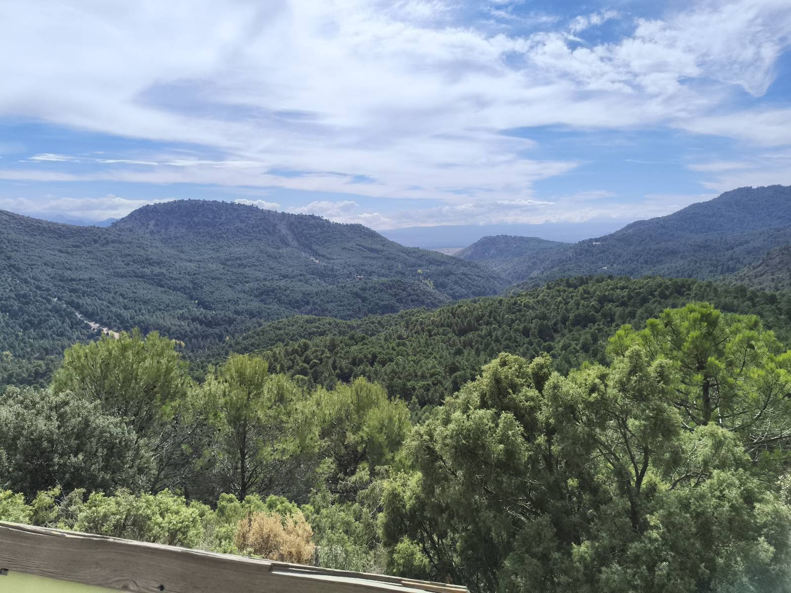
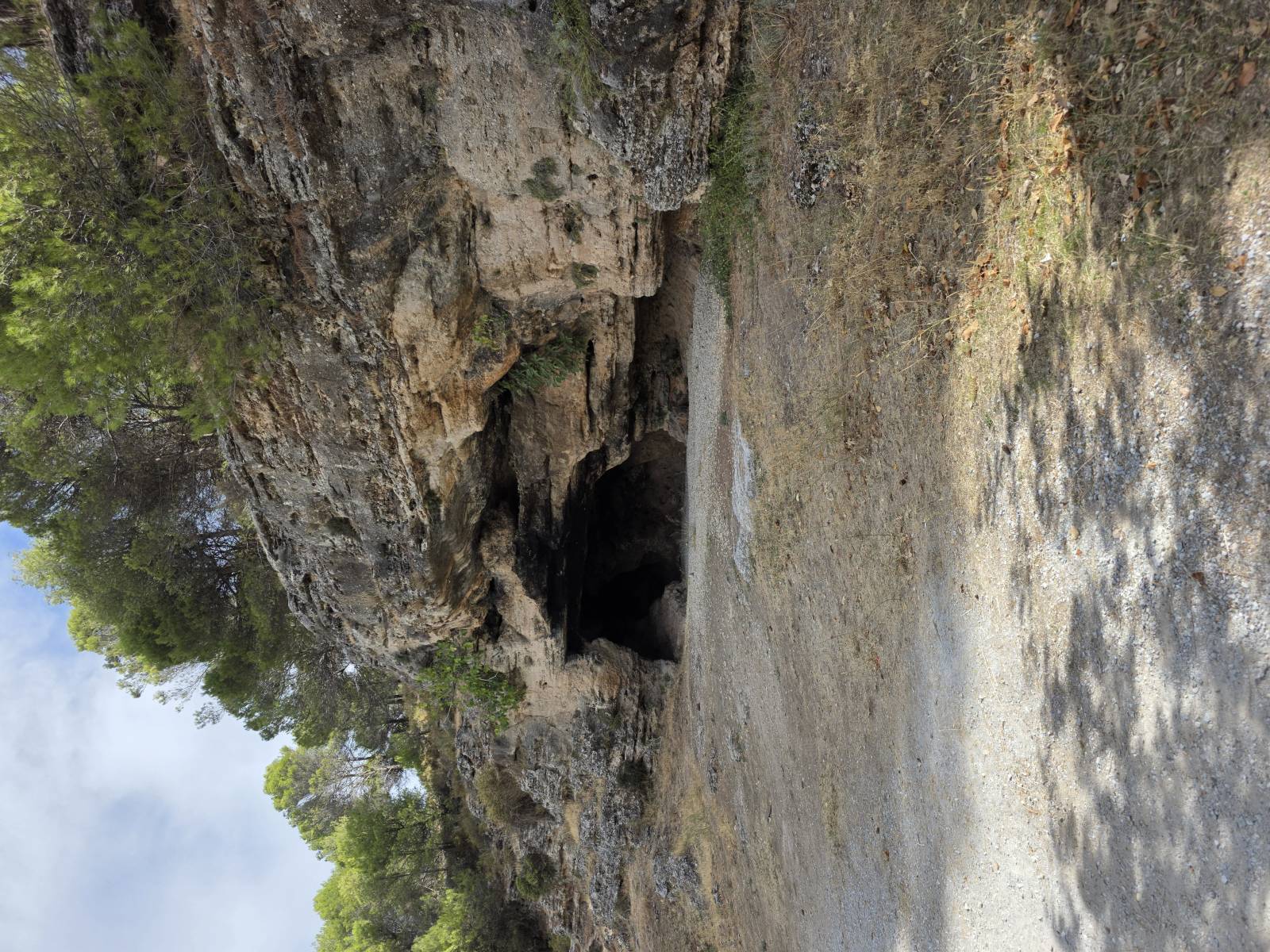
Ruta por el entorno de la Sierra de Huetor. Esta ruta comienza en el campo de fútbol de Huetor Santillán, es una zona donde el aparcamiento es fácil. La dificultad de esta ruta es Moderada pero es sencilla de andar y relativamente sencilla de seguir
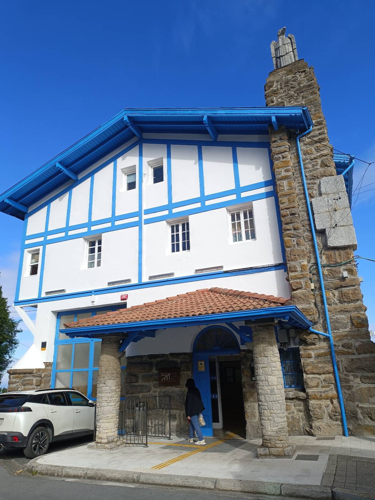
Bonita ruta circular con salida y llegada en Larreineta, junto a la puerta del funicular. Hemos disfrutado de una jornada espléndida, sin apenas viento y con una temperatura muy agradable durante la primera parte del recorrido. Comenzamos descendiendo hacia La Arboleda por una senda herbosa paralela a la carretera, dejando a nuestra izquierda la antigua zona minera de Las Cármenes y Parkotxa. Allí, los antiguos pozos de las minas, inundados tras el abandono de las explotaciones, han dado lugar a varias lagunas, entre ellas Blondis, Parkotxa y la pequeña Zuloko. A nuestra derecha, el campo de golf y unas magníficas vistas de la costa, desde Punta Lucero hasta Castro Urdiales, con Serantes y el Abra destacando en el horizonte. Desde La Arboleda continuamos hacia Peñas Negras por la pista asfaltada, aprovechando para disfrutar de las vistas desde diferentes perspectivas. El paisaje combina montes cubiertos de vegetación con otros más rocosos, verdes valles salpicados de caseríos y pequeños barrios, y profundos barrancos por cuyos fondos discurre el agua. Entre Peñas Negras y la zona de Pickwick y La Lejana abandonamos el asfalto para adentrarnos por senderos algo irregulares, con algunos tramos embarrados y fuertes desniveles. A nuestra izquierda encontramos las antiguas explotaciones mineras del norte de Ortuella, mientras que a la derecha se abre el barranco de El Cuadro, con los montes de Triano al fondo y las siluetas del Pico Menor, Pico Mayor, Ganeran y Gasteran. Todavía pueden distinguirse algunas antiguas entradas a las galerías mineras, testigos de la intensa actividad que tuvo esta zona. Tras pasar por La Lejana, iniciamos una fuerte subida que nos lleva hacia el cementerio y posteriormente a la zona de Arrabal. El recorrido va ganando altura y las vistas se amplían progresivamente, permitiéndonos contemplar tanto la costa y el Abra como los montes del interior, con el Eretza, el Ganekogorta y el resto de cumbres de los alrededores. La subida al Mendibil nos regala nuevas panorámicas sobre La Arboleda, sus antiguas lagunas mineras y buena parte de la Margen Izquierda. Desde aquí continuamos hacia el Argalario atravesando un auténtico mar de hierba. Sin duda, uno de los tramos más bonitos de toda la ruta. Una vez arriba, las vistas son espectaculares en prácticamente todas las direcciones: el Abra, Uribe Kosta, la Margen Izquierda del Nervión, Txorierri, Bilbao y los montes del Duranguesado. También aparecen el Ganekogorta, Gallarraga, Eretza, los montes de Triano y, al fondo, el Cantábrico. Una auténtica panorámica de 360 grados. Lástima que el sol velase ligeramente la visibilidad hacia el sureste, especialmente sobre Bilbao y el Eretza. Desde el Argalario realizamos un pequeño desvío, nuevo para nosotros, hacia el Bitarratxu. Mereció la pena acercarse, ya que ofrece unas vistas diferentes, esta vez centradas en la Margen Izquierda, con Barakaldo a nuestros pies y Erandio, Leioa, Asua y Loiu al fondo. Para terminar, regresamos hacia Parkotxa por pistas de hormigón y caminos entre prados, manteniendo todavía buenas vistas sobre el Abra, Getxo y la margen derecha de la ría. Desde allí, una última bajada por pista asfaltada nos devuelve a Larreineta, cerrando una ruta muy completa y variada. Un recorrido que combina a la perfección historia minera, antiguas lagunas, senderos entre prados, barrancos y algunas de las mejores panorámicas de Bizkaia. Una de esas rutas en las que merece la pena detenerse de vez en cuando, mirar alrededor y disfrutar de todo lo que tenemos tan cerca.
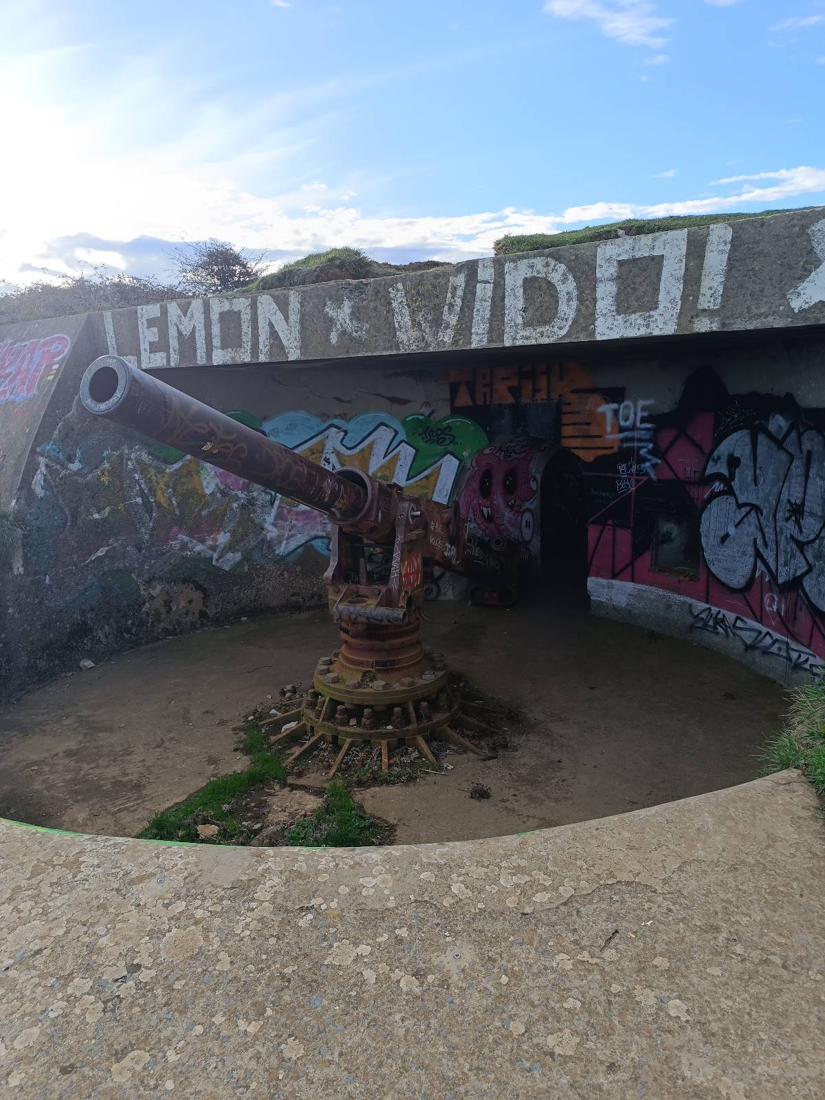
Ruta circular desde la playa de La Arena, en Zierbena, que recorre dos cordales realmente bonitos, combinando senderos entre pinos y encinas, buenas panorámicas de la costa y antiguas construcciones militares que te vas encontrando por el camino. Comienzo la ruta en el aparcamiento de la playa de La Arena. A pesar de ser otoño hay bastante gente. Las previsiones auguran un buen día. Desde aquí me dirijo hacia las laderas de Punta Lucero, donde comienza la primera subida. El recorrido me lleva hasta la zona de los antiguos fortines y búnkeres, un lugar con mucha historia y una ubicación estratégica que todavía hoy impresiona. Merece la pena detenerse a curiosear estas construcciones y disfrutar de las vistas, que siguen siendo espectaculares incluso con el cielo cubierto. Continúo recorriendo el cordal, entre restos militares y panorámicas de la costa, hasta comenzar el descenso hacia los barrios de la zona. Después de un tramo por carretera, enlazo con el siguiente sector de la ruta, donde me espera uno de los aspectos que más me han sorprendido: la cantidad de encinas que hay por estos montes. Comienza entonces una nueva sucesión de subidas y bajadas por senderos que atraviesan zonas arboladas y laderas abiertas, con unas vistas que van cambiando a medida que avanzo. Algunos tramos son bastante exigentes, especialmente cuando toca afrontar las rampas más empinadas. El terreno está húmedo y hay bastante barro en algunos puntos, así que toca andar con cuidado, sobre todo en los descensos. Aun así, los senderos tienen mucho encanto y hacen que el recorrido resulte de lo más entretenido. La parte final me regala otro cordal precioso, con caminos entre pinos y encinas y nuevas panorámicas que hacen que merezca la pena cada subida. Desde aquí comienzo el regreso hacia la playa de La Arena, cerrando una ruta muy completa y variada. Una ruta que me ha encantado, con dos cordales espectaculares, naturaleza, historia y unas vistas preciosas. La única dificultad importante es el barro cuando el terreno está mojado, ya que algunas bajadas pueden resultar resbaladizas. Muy recomendable para disfrutar de una zona que tiene mucho más que ofrecer de lo que parece a simple vista.
Your voice matters
Log in to comment.