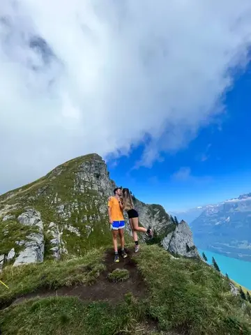
No description available for this route.
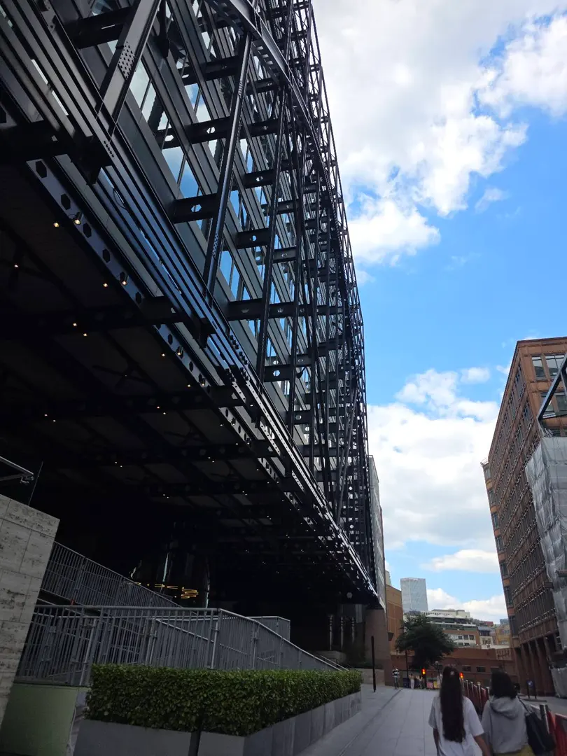
No description available for this route.
The estimated time uses distance, elevation gain and Naismith's rule (5 km/h + 1 h for every 600 m of ascent).
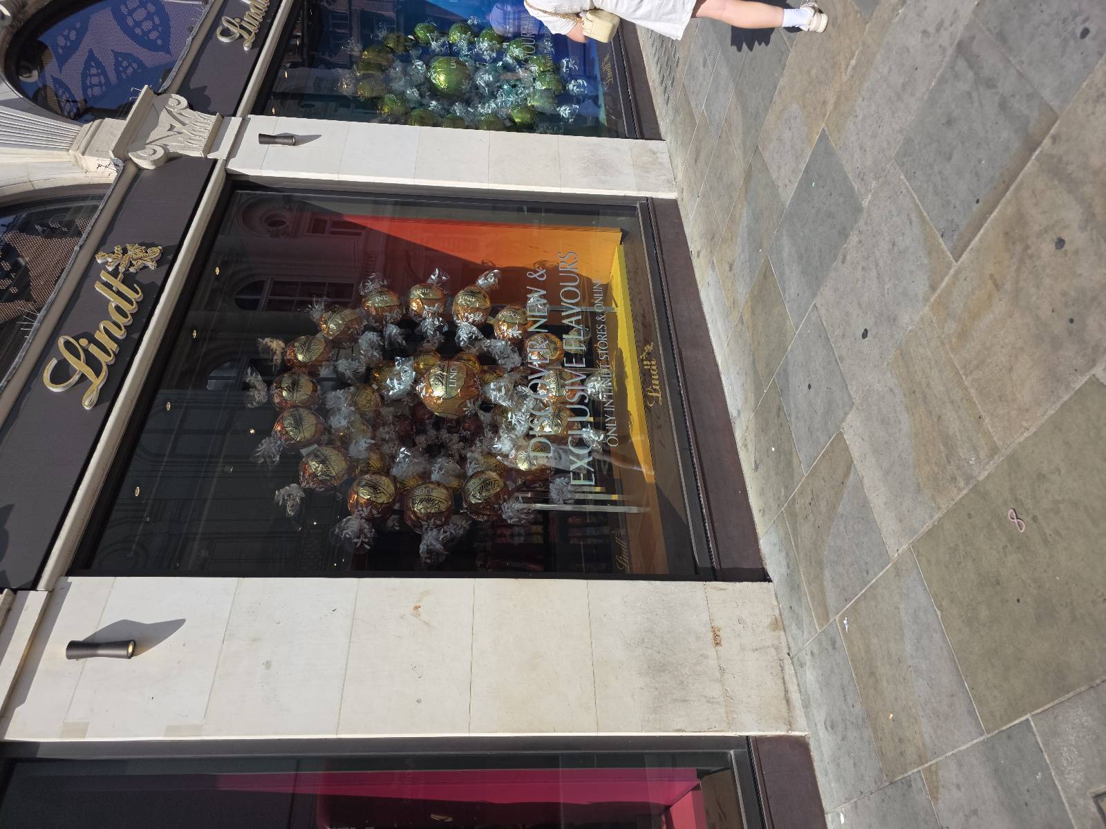
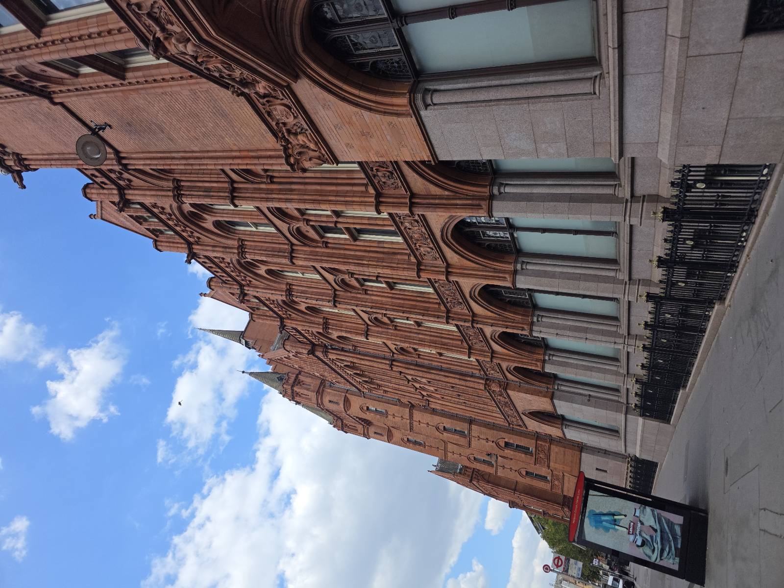
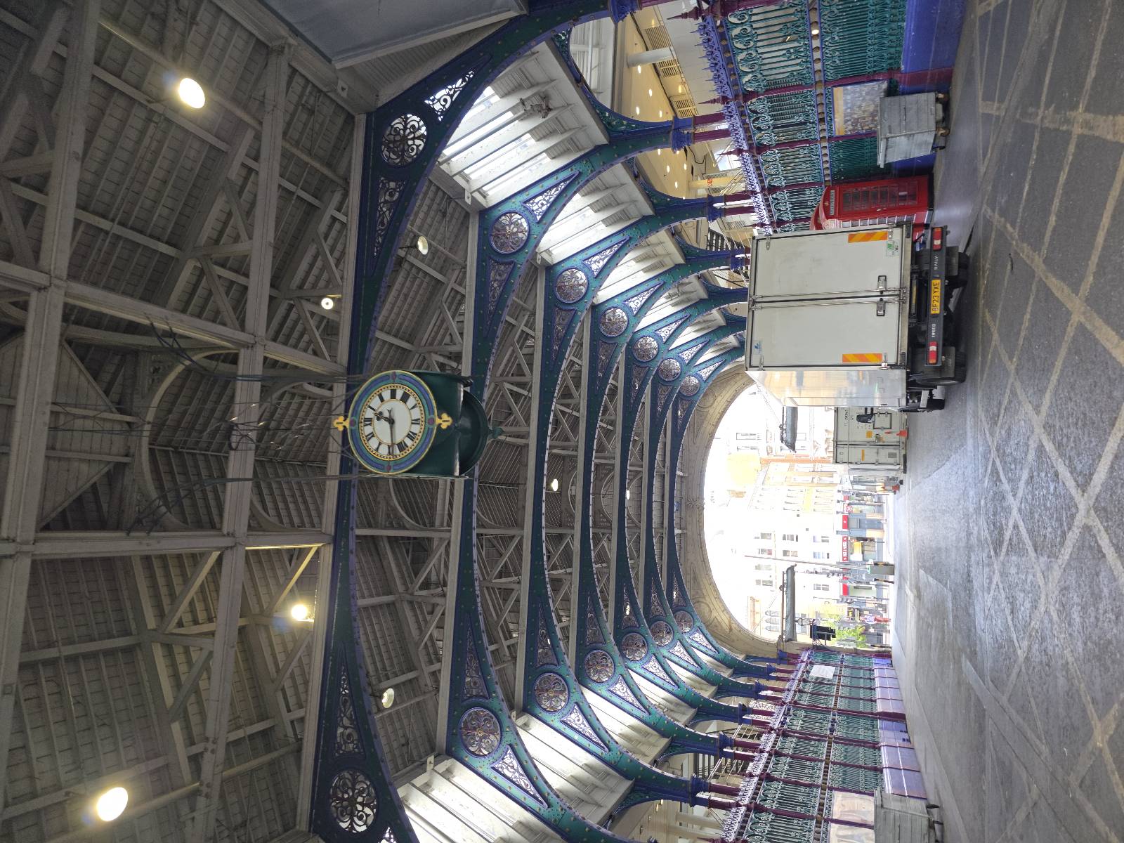

Enhorabuena por tan increíble ruta.
Gracias!!
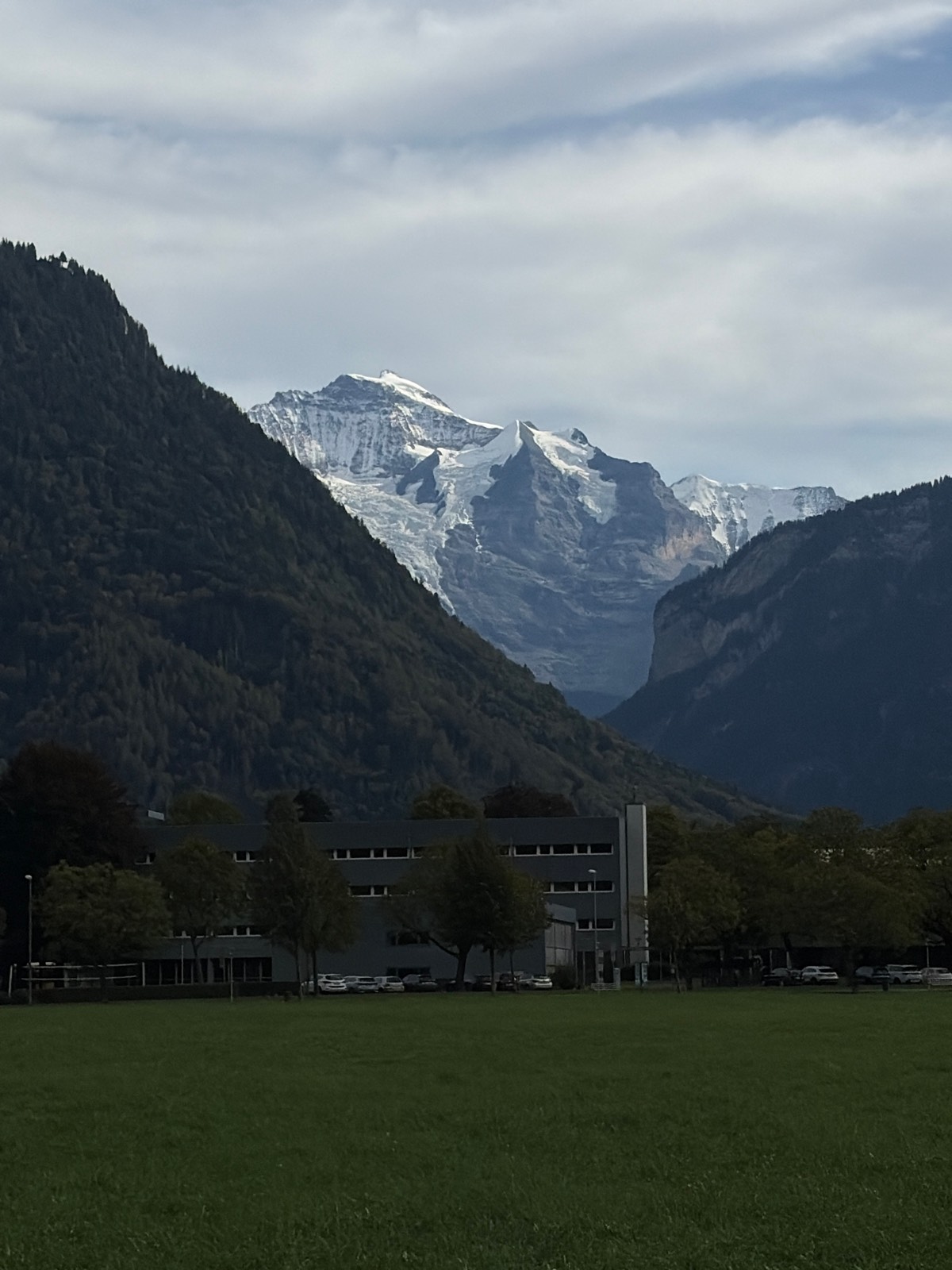
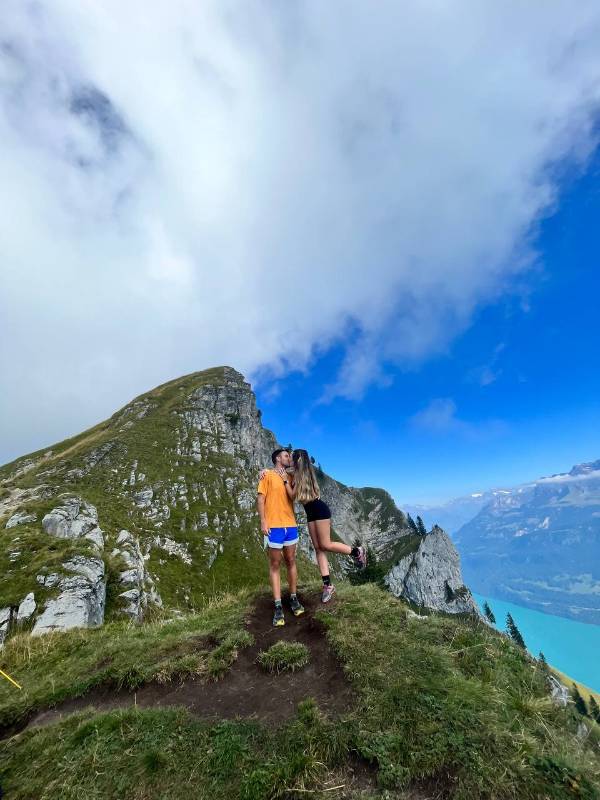
Hoy es nuestro último día en Suiza, estoy súper triste pero voy a poner broche de oro con este paseo por Interlaken 🇨🇭💔✨ No me puedo creer que este viaje se termine, así que decidí exprimir las últimas horas de la mejor forma: perdiéndome por el bulevar Höheweg sin prisa, con el Jungfrau despidiéndose de fondo y entrando a cada rincón que llamaba mi atención. Suiza, te llevas un pedacito gigante de mi corazón… ¡prometo volver! 🏔️✈️
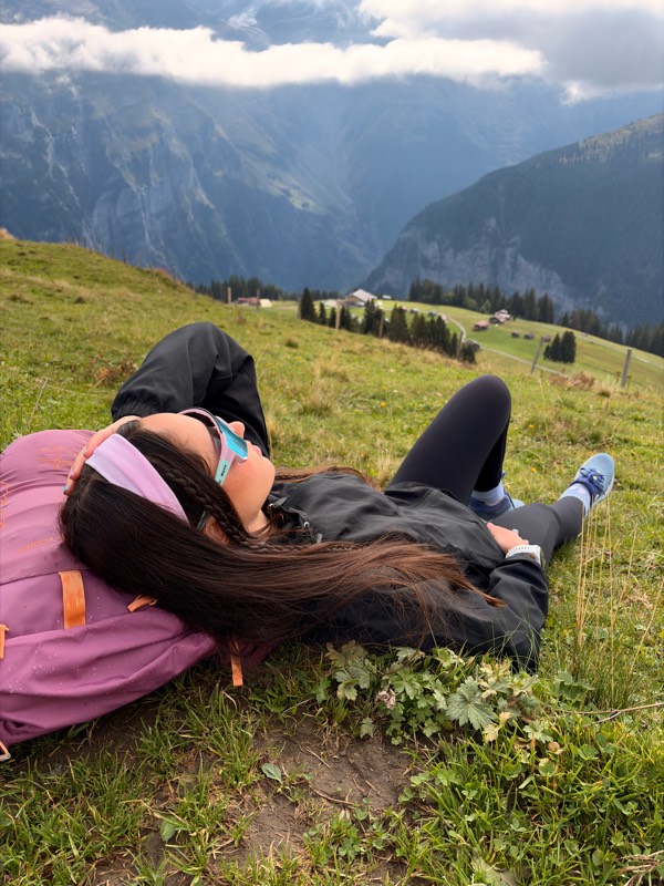
Nunca voy a decir que no a ir a los Italianos a por un heladito 🍦🍦🍦
Your voice matters
Log in to comment.